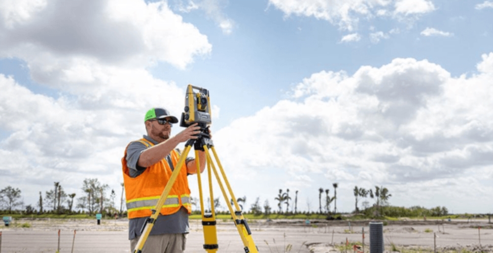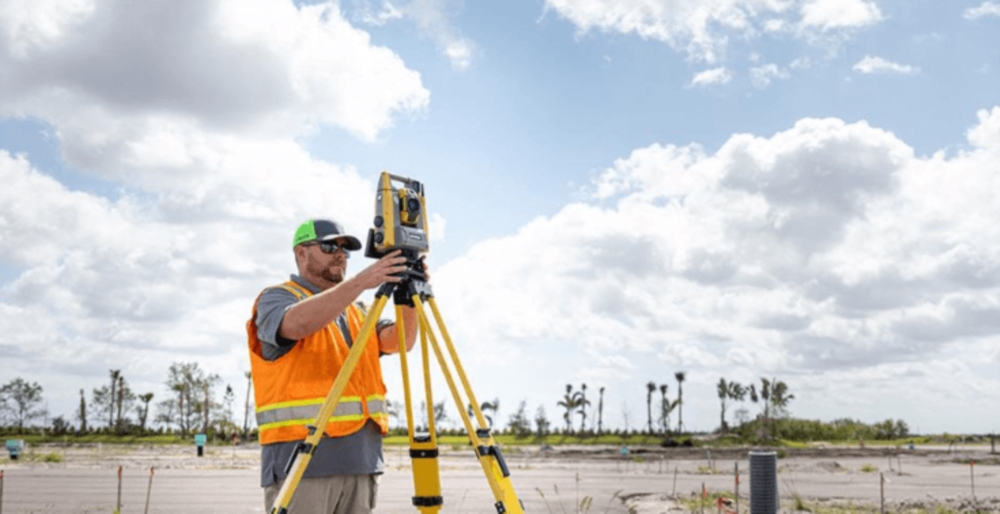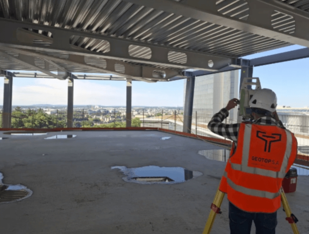
GEOTOP S.A., founded in 1990 and based in Luxembourg, is a leading company specializing in geomatics, topography, cadastral surveying, and geospatial engineering. With a multidisciplinary team of Chartered Surveyors, Geomatics Specialists, Topographers, Engineers, Architect Experts, and Technical Draftsmen, the company supports private individuals, businesses, real estate developers, engineering firms, industrial companies, and public administrations at local, regional, national, and international levels.
Thanks to its recognized expertise and high-precision equipment, GEOTOP operates in a wide range of sectors including construction, real estate, land development, infrastructure, and industry. The company provides reliable, innovative, and tailor-made solutions for projects of all sizes and complexities.
Our Areas of Expertise
- Topographic surveys and mapping
- BACS surface measurements
- Cadastral surveys and land boundary measurements
- Vertical cadastre and condominium surveys
- Easements and land acquisition plans
- Industrial surveying and topometry
- Precision metrology for industrial, pharmaceutical, and medical sectors
- Monitoring of engineering structures
- Railway track monitoring
- Infrastructure inspection and surveillance
- Terrestrial photogrammetry
- Drone surveying and aerial mapping
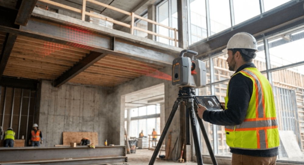
- 3D laser scanning and digital modeling
- Archaeological surveys
- Cartography and GIS (Geographic Information Systems)
- As-built surveys and documentation
- Geospatial data management and analysis
- Urban and rural land consolidation
- Nature and environmental planning
- Assistance with permit and authorization applications
Technology and Innovation
To ensure maximum accuracy and reliability, GEOTOP uses state-of-the-art surveying instruments, advanced digital technologies, professional drones, 3D scanning solutions, and specialized software for geographic data processing and analysis.
Quality and Professionalism
Quality is at the heart of GEOTOP's commitment. The company has been ISO 9001 certified since 2003, ensuring strict quality procedures, continuous project monitoring, and ongoing improvement of its services.
Whether you require a topographic survey, cadastral measurement, 3D modeling, infrastructure monitoring, or support for land development projects, GEOTOP S.A. offers expertise, precision, and professional guidance tailored to your needs.
For more information, contact GEOTOP S.A. at +352 44 93 98.